
Site Feasibility Study: What to Check Before You Buy Commercial Land in Texas
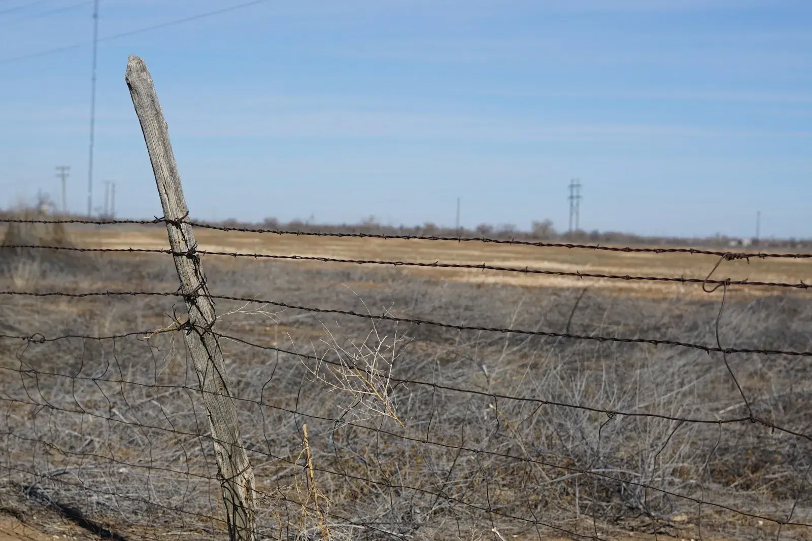
Raw land looks simple from the fence line. Feasibility work finds what you can't see from here: floodplain, soil, utility capacity and the easements under those power lines. (Photo: Photo by Christopher Castleberry (@thealphaboy7) on Unsplash · Unsplash License)
A site feasibility study answers three questions before you close on land: can you build what you have in mind here, what will the site itself add to the cost, and which approvals stand between you and a permit. Most of the expensive surprises on a commercial site (floodplain, no sewer, an outfall that doesn't exist, a plat that has to be redone) are findable during the due-diligence period if someone goes looking.
This is the engineering side of feasibility. Market studies, pro formas and zoning strategy matter too, but they assume the dirt cooperates. Here's what an engineer checks, where the information comes from, and what a red flag usually means.
What an engineering site feasibility study covers
| Item | Where the information comes from | Red flag | What it usually means |
|---|---|---|---|
| Floodplain | FEMA Flood Insurance Rate Map, local floodplain administrator | Any part of the buildable area in a mapped flood zone or floodway | Floodplain permit, elevated pads, possibly a flood study; floodway may be off-limits |
| Soils | USDA Web Soil Survey for screening, then a geotechnical investigation | High shrink-swell clay, shallow rock, fill of unknown origin | Deeper or stiffer foundations, subgrade treatment, rock excavation |
| Drainage outfall | Topographic survey, aerials, city drainage maps | No defined outfall, or runoff that has to cross a neighbor | Drainage easement needed, detention, offsite improvements |
| Detention | Local drainage criteria (many North Texas cities use NCTCOG iSWM) | Detention required with little spare land | Lost acreage or underground storage |
| Water and sewer | Utility provider maps and a capacity letter | Sewer main far away or too shallow, low fire flow | Line extension, lift station, booster, or a different site |
| Access | City or TxDOT driveway rules, traffic counts | Frontage only on a state highway, driveway spacing limits | TxDOT permit, turn lanes, shared access |
| Platting | City or county plat records | Tract is unplatted or the plat doesn't match the plan | Platting or replatting before building permits |
| Easements | Title commitment and boundary survey | Pipeline, power or drainage easement through the building area | Site plan rework, relocation cost and delay |
| Topography | Survey or LiDAR | Steep grades, big cut or fill | Earthwork cost, retaining walls |
| Construction stormwater | TCEQ construction general permit | One acre or more of disturbance | SWP3 and best management practices for construction |
Floodplain: can you build in a flood zone?
Often yes, with conditions. FEMA's flood maps show the Special Flood Hazard Area, which FEMA defines as land with a 1% or greater chance of flooding in any given year. The official maps are on FEMA's Flood Map Service Center.
Communities in the National Flood Insurance Program have to require permits for all proposed construction or other development in flood-prone areas (44 CFR §60.3). Inside a mapped regulatory floodway, encroachments are prohibited unless an engineering analysis shows they won't increase flood levels. In practice that means the floodway portion of a tract is usually treated as unbuildable, and the rest of the floodplain needs a permit and elevated construction. Local rules are often stricter than the federal minimum, so check with the city or county floodplain administrator early.
Soils: screen online, confirm with borings
The USDA Web Soil Survey is a good first look. It shows mapped soil units with ratings for shrink-swell potential, depth to bedrock and suitability for buildings. In much of North Texas it will show highly plastic clay. That tells you to expect foundation design for expansive soil, but it is mapped at a scale meant for planning, not for designing a specific building.
For a commercial purchase, a preliminary geotechnical investigation with a few borings is usually worth doing inside the due-diligence period. It tells you the likely foundation type, whether subgrade treatment will be needed under pavement, and whether there's rock or groundwater close to the surface.
Drainage, detention and the outfall question
Every site has to send its runoff somewhere. The questions are where, how much, and through whose land. If the natural outfall crosses a neighbor's property with no drainage easement, you may need to buy one or build a pipe to a public system. Many cities in North Central Texas base their drainage criteria on NCTCOG's integrated Stormwater Management (iSWM) program, but local adoption and amendments vary, so read the city's own criteria manual.
Utilities: get it in writing
"Utilities available" on a listing means little. Ask the provider for a capacity or availability letter. For sewer, check the depth of the nearest main, because a gravity line that can't reach it means a lift station. For water, check fire flow, since a commercial building's sprinkler and hydrant demand can exceed what an older line delivers.
Access and platting
If the only frontage is on a state highway, a new or modified driveway needs a TxDOT access permit, and TxDOT's Access Management Manual governs spacing and design. In some cities that authority has been transferred to the city.
Platting is the other common hold-up. Under Texas Local Government Code §212.004, an owner who divides a tract within a city or its extraterritorial jurisdiction to lay out lots or streets generally has to have a plat prepared and recorded. Outside city limits and the ETJ, county subdivision rules apply. If the tract is unplatted or the existing plat doesn't fit your plan, budget the time for platting before building permits. Plats are prepared by a registered professional land surveyor; the civil engineer prepares the infrastructure plans that go with them.
Desktop study versus field study
| Desktop feasibility | Field-verified feasibility | |
|---|---|---|
| Inputs | Public maps, aerials, utility maps, plat and title records, Web Soil Survey | Adds a boundary and topographic survey, preliminary borings, utility locates, meetings with the city |
| Good for | Screening several sites, early go/no-go | A site you're serious about, before the due-diligence period ends |
| Typical output | Constraints memo with flagged risks | Constraints map, approvals list, conceptual grading and utility routes |
Start with a desktop study when you're comparing sites. Move to field verification on the one you intend to buy.
A short pre-closing checklist
- Pull the FEMA flood map panel and talk to the floodplain administrator.
- Run the tract through Web Soil Survey, then schedule preliminary borings.
- Confirm the drainage outfall and whether detention is required.
- Get water and sewer availability letters with capacity.
- Check driveway options with the city and, if applicable, TxDOT.
- Confirm plat status and any replat requirements.
- Review the title commitment for easements, and plot them on the survey.
- Estimate earthwork from the topography.
- Note TCEQ construction stormwater requirements if you'll disturb an acre or more.
Talk to Isbell Engineering Consultants about a site before you buy
Isbell Engineering Consultants lists site feasibility and due diligence among its civil engineering services: preliminary evaluation of proposed sites, review of drainage, utilities, access, grading and infrastructure constraints, and early engineering input before acquisition. Preliminary borings and foundation recommendations come from our geotechnical engineering services. If you have a tract under contract or under consideration, contact us with the address, your intended use and your due-diligence deadline. The full list is on our services page.
Frequently asked questions
What is a site feasibility study?
It's an early evaluation of whether a specific piece of land can support a planned project, and at what cost. The engineering portion looks at floodplain, soils, drainage, utilities, access, platting, easements and topography, then lists the constraints and the approvals needed.
How do I know if land is buildable?
Check the flood map, soil conditions, access to a public road, availability of water and sewer (or septic suitability), plat status and recorded easements. If those line up with your intended use, the land is likely buildable. A feasibility study puts those checks in one place.
Can you build in a flood zone in Texas?
Often, with a floodplain development permit and construction that meets the community's elevation requirements. Building in a mapped regulatory floodway is much harder because encroachments can't raise flood levels. Your local floodplain administrator sets the specific rules.
Do I need a geotechnical report before buying land?
It isn't legally required to buy, but a preliminary geotechnical investigation during due diligence can reveal expansive clay, shallow rock or poor fill that change foundation and paving costs. For commercial land, it's often worth the modest upfront cost compared with finding out after closing.
How long does a site feasibility study take?
A desktop study can be quick. A field-verified study depends on survey, drilling and utility response times. Tell your engineer your due-diligence deadline at the start so the scope fits the time you have.
Sources
- FEMA, Flood Maps
- 44 CFR §60.3, Flood plain management criteria for flood-prone areas (Cornell LII)
- Texas Local Government Code §212.004, Plat Required (FindLaw)
- TCEQ, Stormwater General Permit for Construction Activities (TXR150000)
- TxDOT Access Management Manual, Driveway Permits, Design, and Materials
- NCTCOG iSWM Technical Manual
- USDA NRCS Web Soil Survey
Image credits
- Undeveloped flat land behind an old barbed wire fence, with overhead power lines crossing the tract. Photo: Photo by Christopher Castleberry (@thealphaboy7) on Unsplash · Unsplash License
Related articles
Copyright © 2026 Isbell Engineering Consultants - All Rights Reserved.
Made & Managed by North Texas Business Solutions